Sable Offshore Forecast
| Winds... Sable - Eastern Half: Wind Northwest 10 To 15 Knots Increasing To Northwest 15 To 20 This Afternoon And To Northwest 30 To 35 This Evening. Wind Diminishing To Northwest 25 To 30 Tuesday Afternoon. Sable - Western Half: Wind Variable 10 To 15 Knots Increasing To Northwest 20 To 25 This Evening. Wind Northwest 20 To 25 Tuesday. |
| Waves... Sable - Eastern Half: Seas 2 Metres. Sable - Western Half: Seas 1 Metre. |
| Skies... Sable - Eastern Half: Scattered Showers Overnight And Tuesday. Sable - Western Half: Scattered Showers Ending This Morning. |
| Wednesday...Wind Northwest 20 Knots. |
| Thursday...Wind North 10 To 15 Knots. |
| Friday...Wind Northeast 20 To 25 Knots. |
Marine Weather Statement For The Maritimes
Issued By Environment Canada 2:29am ADT Monday 29 April 2024.
A Low Pressure System Currently South Of The Grand Banks Will Strengthen And Track Northward To Lie Over The Southern Grand Banks By This Afternoon. Strong To Gale Force Northwesterly Winds Will Develop Tonight Over Eastern Waters As The Low Approaches.
Marine Interests Are Advised That Gale Warnings Are In Effect For Eastern Shore - Eastern Half, Sable - Eastern Half, Fourchu, Banquereau - Western Half, Laurentian Fan - Western Half And Cabot Strait.
Technical Marine Synopsis For The Maritimes
Issued By Environment Canada 3:00am ADT Monday 29 April 2024 For Today Tonight And Tuesday. The Next Scheduled Synopsis Will Be Issued At 10:00am ADT.
Systems Position. At 3:00am ADT Today Low 997 Mb Located South Of The Grand Banks. By 8:00pm ADT Tonight Quasi-Stationary Low 994 Mb Located Over The Southern Grand Banks.
At 10:00am ADT Today Ridge Located Over Western Quebec. By 8:00pm ADT Tuesday Ridge Located Over The Western Marine District.
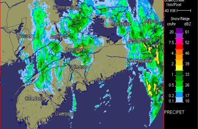 Halifax Radar
 Atlantic Satellite