Baltimore Harbor & Patapsco River Marine Forecast
| This Afternoon...Se Winds 5 To 10 Kt. Waves 1 Ft Or Less. |
| Tonight...S Winds 5 To 10 Kt...Becoming W After Midnight. Waves 1 Ft. A Chance Of Showers. |
| Sat...Nw Winds 5 To 10 Kt. Waves 1 Ft. |
| Sat Night...Nw Winds 5 To 10 Kt. Waves 1 Ft Or Less. |
| Sun...Nw Winds 10 Kt With Gusts To 20 Kt. Waves 1 Ft. |
| Sun Night...Sw Winds 5 To 10 Kt. Waves 1 Ft Or Less. |
| Mon...S Winds 5 To 10 Kt. Waves 1 Ft. |
| Tue...S Winds 10 To 15 Kt. Waves 1 To 2 Ft. A Chance Of Showers After Midnight. |
| Area Forecast Discussion National Weather Service Baltimore MD/Washington DC 308pm EDT Fri May 1 2026 .WHAT HAS CHANGED... Freeze Watches have been issued for Garrett County and western Allegany Counties in MD, western Mineral, western Grant and Pendleton Counties in WV, and Highland County in VA for Saturday night into early Sunday. Cooler temperatures this weekend. .KEY MESSAGES... - 1) Freezing temperatures likely and patchy to widespread Frost possible Saturday night into early Sunday, especially west of the Blue Ridge Mountains. - 2) Showers remain possible at times next week as temperatures rise to near or above normal. KEY MESSAGE 1...Freezing temperatures likely and patchy to widespread Frost possible Saturday night into early Sunday, especially west of the Blue Ridge Mountains. Aside from a couple of showers and perhaps a clap of thunder late this afternoon through mid-evening in western Maryland and northeastern West Virginia, dry conditions more likely for the remainder of the region through tonight and Saturday. Below average temperatures expected each day and each night through the weekend. The coldest night given clearing skies and light winds will be Saturday night into early Sunday. Temperatures should be cold enough that we will be looking at Freezing temperatures and possible areas of Frost west of the Blue Ridge. Cloud cover and light winds may limit or prohibit areas of Frost and/or Freezing temperatures tonight. However, conditions will be more ideal Saturday night for the Freeze headlines. A Freeze Watch has been issued for the western zones of Garrett and western Allegany, western Mineral, western Grant, Pendleton and Highland Counties Saturday night and into early Sunday. In terms of weather, most areas will be dry. Temperatures will be cool during the day with highs in the lower to middle 60s, not just this afternoon but each day through Sunday. KEY MESSAGE 2...Showers remain possible at times next week as temperatures rise to near or above normal. A closed low will remain centered near the Great Lakes early next week. At the surface, a large area of high pressure will become positioned in the western Atlantic. Southerly winds will become a bit gusty during the daytime, and the ensuing warm advection will bring temperatures back closer to or even above normal. Some areas could reach 80 on Tuesday. There are some uncertainties with how exactly the trough evolves, but a frontal zone will be slowly approaching from the northwest Monday and Tuesday. Some showers could reach the northwestern half of the forecast area as embedded shortwaves pivot through, but overall these days should be drier. At some point during the middle of the week, a digging shortwave trough will amplify the pattern and push the cold front across the area. This front will bring higher rain chances, and depending on timing, potentially thunderstorms. Temperatures will trend back down the second half of the week in the wake of the front. Marine Winds become southerly tonight. A brief window of gusts 15 to 20 knots is possible for a few hours this evening. Confidence that southerly channeling will occur is low. Small Craft Advisories are possible Saturday afternoon into Saturday night as a coastal low moves by to our southeast. Northwest winds gusting up to 25 knots across the waters are possible. Small Craft Advisories will be likely Monday and Tuesday in southerly flow. NOAA Baltimore MD/Washington DC Office: Watches - Warnings - Advisories DC...None. MD...Freeze Watch from late Saturday night through Sunday morning for MDZ501-509-510. VA...Freeze Watch from late Saturday night through Sunday morning for VAZ503-504. WV...Freeze Watch from late Saturday night through Sunday morning for WVZ501-503-505-506. Marine None. |
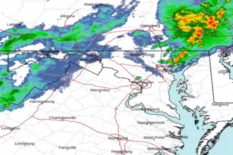
 Baltimore/Washington Radar
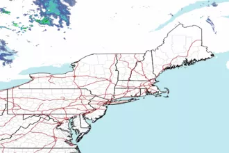
 Northeast Radar
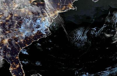
 East Coast Satellite