Eastern Shore Marine Forecast
| Winds... Eastern Shore - Western Half: Wind Northeast 15 To 20 Knots Diminishing To Northerly 10 To 15 Early Tuesday Morning And To Light Near Noon Tuesday. Wind Becoming Southwest 10 To 15 Early Tuesday Evening. Winds For Eastern Shore - Eastern Half: Wind Northeasterly 20 Knots Diminishing To Northerly 15 Tuesday Afternoon. |
| Waves... Seas 1 To 2 Metres. |
| Skies... Eastern Shore - Eastern Half: Scattered Showers And Fog Patches Ending Near Noon Tuesday. Risk Of Thunderstorms Tonight. Eastern Shore - Western Half: Scattered Showers Ending Overnight With A Risk Of Thunderstorms. Fog Patches. |
| Wednesday...Wind Light. |
| Thursday...Wind Easterly 15 To 20 Knots. |
| Friday...Wind Northeasterly 15 Knots. |
Marine Weather Statement For The Maritimes
Issued By Environment Canada 7:50pm ADT Sunday 19 July 2026.
Technical Marine Synopsis For The Maritimes
Issued By Environment Canada 8:00pm ADT Monday 27 July 2026 For Tonight And Tuesday. The Next Scheduled Synopsis Will Be Issued At 3:00am ADT Tuesday.
Systems Position. At 8:00pm ADT Tonight Low 1002 Mb Located Over East Scotian Slope. By 8:00pm ADT Tuesday Departing Low 1004 Mb Located Over Banquereau.
At 10:00am ADT Tuesday Building Ridge Located Over The Southwestern Marine District. By 8:00pm ADT Tuesday Ridge Located Over The Central Marine District.
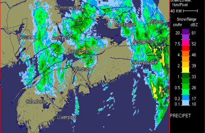 Halifax Radar
 Atlantic Satellite