Johnstone Strait Marine Forecast
| Winds... Wind Northwest 20 Knots Increasing To Northwest 30 Early This Evening Then Diminishing To Northwest 20 Late Overnight. Wind Increasing To Northwest 30 Monday Afternoon. |
| Skies... Tonight, A Few Clouds. Increasing Cloudiness After Midnight. Monday, Mainly Cloudy. Clearing Late In The Morning. |
| Tuesday...Wind Northwest 15 To 25 Knots Increasing To Northwest 30 In The Afternoon. |
| Wednesday...Wind Northwest 10 To 20 Knots. |
| Thursday...Wind Northwest 10 To 20 Knots. |
Marine Weather Statement For The Pacific Waters
Issued By Environment Canada 3:46pm PDT Sunday 28 June 2026.
A Ridge Of High Pressure West Of Bowie Will Generate Strong Northwesterly Winds Across Most Marine Areas, With Local Gale Force Winds Expected Off Vancouver Island.
As The Ridge Strengthens Slightly On Monday, Gale Force Winds Off Vancouver Island And In The Southeastern Explorer Region Will Extend Into The Central Waters.
Technical Marine Synopsis For The Pacific Waters
Issued By Environment Canada 4:00pm PDT Sunday 28 June 2026 For Tonight And Monday. The Next Scheduled Synopsis Will Be Issued At 9:30pm PDT.
Systems Position. At 4:00pm PDT Today Quasi-Stationary Ridge Located West Of Bowie.
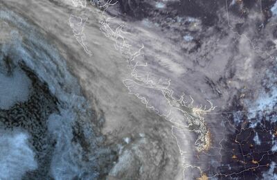 Pacific Satellite