Georges Bank Offshore Forecast
| Winds... Wind Light Increasing To Southeast 10 To 15 Knots Wednesday Morning And To Southeast 20 Wednesday Evening. |
| Waves... Seas 1 To 2 Metres. |
| Skies... Scattered Showers And Fog Patches. Risk Of Thunderstorms Late This Afternoon And Wednesday Late In The Day. |
| Thursday...Wind Variable 10 To 15 Knots. |
| Friday...Wind West 10 To 15 Knots. |
| Saturday...Wind North 10 To 15 Knots. |
Marine Weather Statement For The Maritimes
Issued By Environment Canada 7:50pm ADT Sunday 19 July 2026.
Technical Marine Synopsis For The Maritimes
Issued By Environment Canada 3:30pm ADT Tuesday 28 July 2026 For Tonight And Wednesday. The Next Scheduled Synopsis Will Be Issued At 8:00pm ADT.
Systems Position. At 3:30pm ADT Today Departing Low 1004 Mb Located Over Banquereau.
At 3:30pm ADT Today Building Ridge Located Over The Southwestern Marine District. By 8:00pm ADT Tonight Quasi-Stationary Ridge Located Over The Central Marine District.
By 8:00pm ADT Wednesday Low 1001 Mb Located Over Long Island.
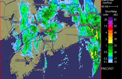 Halifax Radar
 Atlantic Satellite