Sable Offshore Forecast
| Winds... Sable - Eastern Half: Wind Northwest 55 Knots Diminishing To Northwest 40 Early This Evening And To West 25 Friday Morning. Sable - Western Half: Wind Northwest 40 Knots Diminishing To Northwest 25 Late Overnight Then Backing To West 20 To 25 Near Noon Friday. |
| Waves... Sable - Eastern Half: Seas 4 To 6 Metres Subsiding To 3 To 4 After Midnight And To 2 To 3 Friday Afternoon. Sable - Western Half: Seas 4 To 6 Metres Subsiding To 2 To 3 Late Overnight And To 1 To 2 Friday Evening. |
| Skies... Sable - Eastern Half: Showers Ending Near Midnight With A Risk Of Thunderstorms. Sable - Western Half: Showers Ending Near Midnight With A Risk Of Thunderstorms. |
| Saturday...Wind West 20 Knots Increasing To Southwest 30 In The Afternoon. |
| Sunday...Wind Northwest 15 Knots Diminishing To Light. |
| Monday...Wind East 30 Knots Diminishing To South 20. |
Marine Weather Statement For The Maritimes
Issued By Environment Canada 7:50pm ADT Sunday 19 July 2026.
Technical Marine Synopsis For The Maritimes
Issued By Environment Canada 8:00pm ADT Monday 27 July 2026 For Tonight And Tuesday. The Next Scheduled Synopsis Will Be Issued At 3:00am ADT Tuesday.
Systems Position. At 8:00pm ADT Tonight Low 1002 Mb Located Over East Scotian Slope. By 8:00pm ADT Tuesday Departing Low 1004 Mb Located Over Banquereau.
At 10:00am ADT Tuesday Building Ridge Located Over The Southwestern Marine District. By 8:00pm ADT Tuesday Ridge Located Over The Central Marine District.
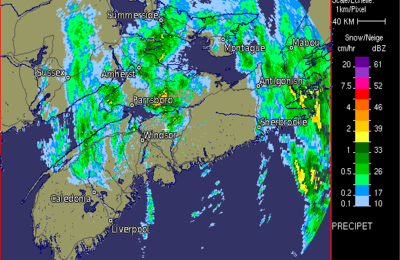 Halifax Radar
 Atlantic Satellite