The Marine Weather Forecast In Detail:
ANZ237 Forecast Issued: 704 AM EDT Sat Apr 25 2026
| Today...E Winds Around 10 Kt, Becoming Se This Afternoon. Seas Around 2 Ft. Wave Detail: S 1 Foot At 6 Seconds And E 1 Foot At 6 Seconds. |
| Tonight...Se Winds 5 To 10 Kt. Seas Around 2 Ft. Wave Detail: N 1 Foot At 2 Seconds And E 1 Foot At 3 Seconds. A Chance Of Rain In The Evening, Then Rain Likely After Midnight. |
| Sun...E Winds 10 To 15 Kt With Gusts Up To 20 Kt. Seas 2 To 3 Ft. Wave Detail: E 2 Ft At 3 Seconds And S 2 Ft At 7 Seconds. Rain Likely. |
| Sun Night...Ne Winds 10 To 15 Kt With Gusts Up To 25 Kt. Seas 2 To 3 Ft. Wave Detail: E 3 Ft At 5 Seconds And S 2 Ft At 8 Seconds. A Chance Of Rain In The Evening, Then A Chance Of Showers After Midnight. |
| Mon...Ne Winds 10 To 15 Kt With Gusts Up To 25 Kt. Seas 3 To 4 Ft. Wave Detail: E 4 Ft At 8 Seconds And Ne 2 Ft At 4 Seconds. A Chance Of Showers In The Morning. |
| Mon Night...Ne Winds 10 To 15 Kt With Gusts Up To 25 Kt. Seas 2 To 4 Ft. Wave Detail: E 4 Ft At 8 Seconds And Ne 2 Ft At 4 Seconds. |
| Tue...Ne Winds 10 To 15 Kt With Gusts Up To 20 Kt. Seas 2 To 4 Ft. |
| Tue Night...Ne Winds 10 To 15 Kt With Gusts Up To 20 Kt. Seas 3 To 5 Ft. A Chance Of Showers. |
| Wed...Ne Winds Around 10 Kt. Seas 4 To 6 Ft. A Chance Of Showers. |
| Wed Night...E Winds 5 To 10 Kt. Seas 3 To 5 Ft. Showers Likely. Seas Are Reported As Significant Wave Height, Which Is The Average Of The Highest Third Of The Waves. Individual Wave Heights May Be More Than Twice The Significant Wave Height. |
FORECAST FOR ANZ200 CURRENTLY UNAVAILABLE

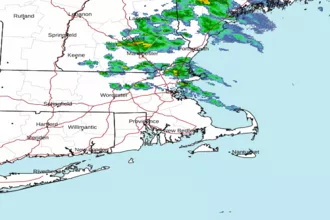
 Boston MA Radar
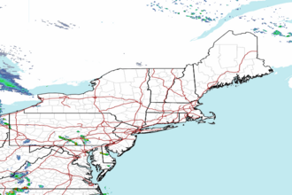
 Northeast Radar
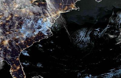
 East Coast Satellite